
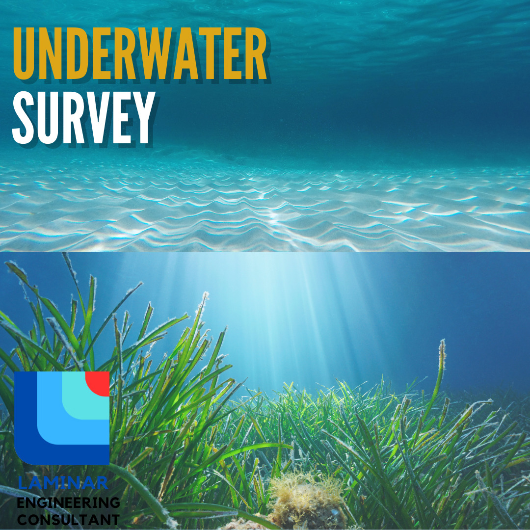
Indonesia’s marine potential is very diverse. There are many important things to know for engineers and consultants when they are about to carry out projects related to water, especially seawater. Underwater surveys are needed to ensure that the project location is suitable for processing all activities directly related to the objectives of the project. This survey covers various aspects with the aim of exploring, mapping, and analyzing the seabed and underwater structures. Some popular surveys used for underwater project activities are:
- Hydrographic Survey, is an activity of measuring and depicting parameters needed to explain the properties and configuration of the seabed precisely, its geographical relationship to land, and the characteristics and dynamics of the ocean. This survey functions to map marine and coastal waters, which are important for navigation and management of marine resources. The methods used are measuring currents, waves, and salinity using various sensors and hydrographic tools.
- Bathymetric Survey, used to determine the contour and also the underwater topography and is often used for various purposes of ship route planning, port construction and marine-related fields, including the location and area of certain objects. Bathymetric Survey is carried out in survey corridors with varying widths whose implementation follows the previously planned survey route plan according to needs.
- Tidal Survey, is an activity of measuring and analyzing changes in sea level due to the influence of the gravity of the moon and sun and other factors. This type of survey is important in navigation, port development, coastal management, and scientific research. The equipment prepared is a tide gauge, pressure sensor, and automatic recorder.
- Sub-bottom Profiling Survey, is a technique that studies the structure of sediments under the seabed using the acoustic wave method to map sediment layers and subsurface structures of the seabed. This activity is important in the study of marine geology, underwater archeology, resource exploration, and environmental research.
These four types of surveys help the sustainability of a project because they can add value and make the project location secure in terms of safety and feasibility. The importance of studying marine sciences or hydrology so that Engineers and Consultants can collaborate superiorly and benefit each other, especially in the field of education.